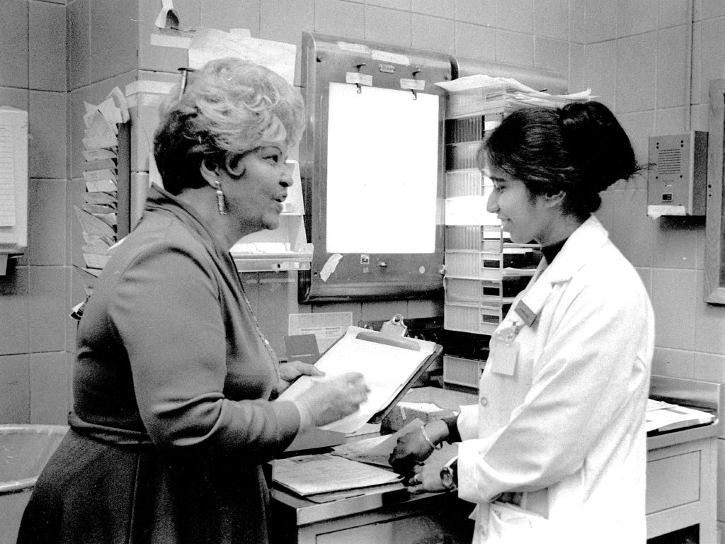
“Uprooted” is the story of how a Newark neighborhood was demolished—and its residents displaced—for the creation of a medical school in the 1960s.
The homes of the mostly African American families that lived there at the time were seized by eminent domain to build a higher education corridor that is today called University Heights.
Using address data and GIS mapping technologies, a team of students, historians, researchers and designers at Rutgers and Columbia Universities, collaborated to build an interactive map that shows the trajectories of two phases of emigration from the neighborhood. By plotting the names and geolocations of the individuals who were displaced we have created a spatial representation of the stories of the people who once called University Heights their home.
